How to Find Your Local Planning Authority and Check Your Property's Constraints

Your local planning authority (LPA) is almost always your district, borough or unitary council, and the quickest way to find it is to put your postcode into GOV.UK’s Find your local council tool. Once you know who your LPA is, five free checks tell you what constraints sit on your property: conservation area status, Article 4 directions, listed building status, tree preservation orders and flood risk. This page walks through each check in order, with the traps that catch people out.
Step 1: work out who your planning authority actually is
For most homes in England, the LPA is the council you pay council tax to. Type your postcode into GOV.UK’s Find your local council page (it expects the standard format, for example SW1A 2AA) and it returns your council’s website. From there, the planning section is usually under “Planning and building” or similar.
Two traps catch people here:
Two-tier counties. If you live in an area with both a county council and a district council (parts of Kent, Surrey, Hampshire, Lancashire and others), the district or borough council is your LPA for extensions, loft conversions and almost all household applications. The county council only handles minerals and waste applications. If GOV.UK shows you two councils, the district one is the one you want.
National parks. Inside a national park boundary, the national park authority is the LPA, not the council. So a house in the South Downs National Park applies to the South Downs National Park Authority even though the council still collects the bins and the council tax. The GOV.UK tool will not flag this, so if you are anywhere near a park boundary, check the park authority’s website too.
For England there is also the Planning Portal’s LPA finder at planningportal.co.uk, which searches by postcode, authority name or grid reference and returns the LPA’s contact details directly. Be aware there is no general GOV.UK tool literally called “find your local planning authority”; the council finder is the official route.
Wales has 22 county and county borough councils plus three national park authorities (Bannau Brycheiniog, Pembrokeshire Coast and Eryri) acting as planning authorities; the Welsh Government publishes a list of authorities rather than a postcode tool. Scotland has 32 councils plus two national park authorities, and applications go through the eplanning.scot portal.
Knowing your LPA matters before you do anything else, because constraints change the answer to whether you need planning permission for an extension at all.
Step 2: get a first look on the national constraints map
The Ministry of Housing, Communities and Local Government runs a national planning data map at planning.data.gov.uk/map. Search by postcode or UPRN and it overlays datasets including conservation areas, Article 4 directions, tree preservation orders and listed buildings on one map.
Treat it as a first look, not the final word. The site itself warns that the data may be incomplete and does not yet cover all of England. If it shows a constraint on your property, believe it. If it shows nothing, you still need to confirm with your council, which is the next step.
Step 3: conservation areas and Article 4 directions
Most English councils publish their conservation area boundaries, Article 4 directions and TPOs online, some as a single interactive map with separate layers (Cornwall’s council map works this way), others as per-area PDF maps or separate pages per constraint. The search that works almost everywhere is simply: “[your council name] conservation area map” or “[your council name] Article 4”.
Two points people regularly get wrong:
Conservation areas restrict permitted development, they do not remove it. You can still do plenty under permitted development rights in a conservation area, but the limits tighten: side extensions, cladding and some roof works typically need a full application. Many conservation areas also have a published character appraisal, which is worth reading because planning officers will judge your design against it.
Article 4 directions are not just a heritage thing. An Article 4 direction is a council order removing specific permitted development rights in a defined area. Historically they protected conservation areas, but councils now use them widely to control HMO conversions in ordinary residential streets. So check for Article 4 even if your house is nowhere near a conservation area. If one applies, work that would normally be permitted development needs a planning application instead.
Step 4: check whether the building is listed
The only official register for England is the National Heritage List for England, run by Historic England at historicengland.org.uk/listing/the-list. Search by address, postcode or list entry number, or use the map search. The list covers listed buildings, scheduled monuments, registered parks and gardens, battlefields and protected wrecks. Each entry shows the grade, the list entry number and a description.
The grades break down roughly as: Grade I about 2.5 per cent of entries, Grade II* about 5.8 per cent, and Grade II about 91.7 per cent. So if your house is listed, it is almost certainly Grade II.
The point most buyers miss is curtilage. Listing does not just cover the front elevation in the photo. It covers the interior, fixtures, and structures within the curtilage that were built before 1 July 1948, such as old outbuildings and boundary walls. Knocking through a wall inside a listed house without listed building consent is a criminal offence, so check the list entry before you plan anything.
In Wales, listed buildings sit on Cadw’s Cof Cymru historic assets map. In Scotland, search Historic Environment Scotland’s designation records at trove.scot, the portal that replaced Canmore and the old Historic Environment Portal in 2025.
Step 5: trees and TPOs
There is no national TPO register. Check your council’s TPO map if it publishes one, or ask the council’s tree or planning team directly; the official GOV.UK guidance on tree preservation orders confirms the council is the keeper of the record. If you are buying, the local land charges search your conveyancer orders will reveal TPOs too.
One rule surprises almost everyone: every tree in a conservation area is protected, whether or not it has its own TPO. You must give the council six weeks’ written notice (a Section 211 notice) before pruning or felling, which gives them time to make a TPO if they want to keep the tree.
Step 6: flood risk, and why the maps changed in 2025
For anything you might build, use the Environment Agency’s Flood map for planning at flood-map-for-planning.service.gov.uk. Enter a postcode or location and it shows which Flood Zone the site sits in, tells you whether your application will need a flood risk assessment, and gives you a printable map for the planning file. For a general household view, GOV.UK’s “check long term flood risk” service covers rivers and sea, surface water, reservoirs and groundwater, though the risk shown is for the area rather than your individual property.
The planning flood map was relaunched on 25 March 2025 using the Environment Agency’s new national flood risk assessment data, and it now shows surface water risk as well as river and sea flooding. Around 4.6 million properties in England are assessed as at surface water risk under the new data, roughly 43 per cent more than before, with about 6.3 million at risk overall. From August 2025 a “Flood Zones plus climate change” layer shows how Zones 2 and 3 are expected to expand over the next century. If you last checked your flood zone before 2025, check again: the answer may have changed.
Being in Flood Zone 2 does not automatically stop an extension, but it usually means submitting a flood risk assessment with the application, which adds cost and time. Factor that in alongside your build budget; our extension cost calculator helps with the rest of the numbers.
Quick reference: the five checks
| Constraint | Where to check | Authoritative source |
|---|---|---|
| LPA identity | GOV.UK Find your local council | Your council (district in two-tier areas; park authority in national parks) |
| Conservation area / Article 4 | planning.data.gov.uk map, then council map | Your council’s constraints map |
| Listed building | National Heritage List for England | Historic England |
| TPO | Council TPO map or tree team | Your council |
| Flood risk | Flood map for planning | Environment Agency |
Buying a house? Use the conveyancing backstop
If you are checking constraints before a purchase, the local land charges search (the LLC1, part of the standard local searches your conveyancer orders) is the formal backstop. It reveals conservation areas, TPOs, Article 4 directions, listed status and enforcement notices registered against the property. Do the free online checks above first so you can ask the right questions, then let the search confirm them. If a constraint turns a project from permitted development into a full application, it pays to know before exchange, and to understand the difference between building regulations and planning permission, because constraints affect the planning side, not the building regs side.
If you have already applied and constraints sank the application, see what to do when planning permission is refused.
Frequently asked questions
Who is my planning authority if I live in a two-tier county? The district or borough council, not the county council. The county only decides minerals and waste applications. Put your postcode into GOV.UK’s council finder and use the district-level result for household planning matters.
How do I check if my house is in a conservation area before buying? Look at the national map at planning.data.gov.uk first, then confirm on the council’s own conservation area map (search “[council name] conservation area map”). The council map is the authoritative version; the national dataset is still incomplete.
Do I lose permitted development rights in a conservation area? No, they are restricted rather than removed. Rear extensions within tighter limits are often still permitted development, but side extensions, cladding and some roof alterations need a planning application. An Article 4 direction can remove further rights, so check for that separately.
How do I find out if a tree has a TPO before cutting it? Ask your council’s tree or planning team, or check its TPO map if it publishes one; there is no national register. If the tree is in a conservation area it is protected regardless, and you must give the council six weeks’ written notice before any works.
Does Flood Zone 2 stop my extension? Usually not, but the application will normally need a flood risk assessment, and the planning officer will weigh flood risk in the decision. Check the Flood map for planning rather than the household flood checker, because it is the version geared to planning applications.
Is my house listed if it just looks old? Not necessarily; only entries on the National Heritage List for England (or the Cadw and Historic Environment Scotland registers) are listed. Search by address before assuming either way, and remember listing also covers interiors and pre-1948 structures within the curtilage.
More from Sareth Build Journal
Keep reading
Do You Need Planning Permission for an Extension? Permitted Development Limits Explained
Do I need planning permission for an extension? Often no, thanks to permitted development. Here are the exact UK size limits, rules and exceptions.
Read entry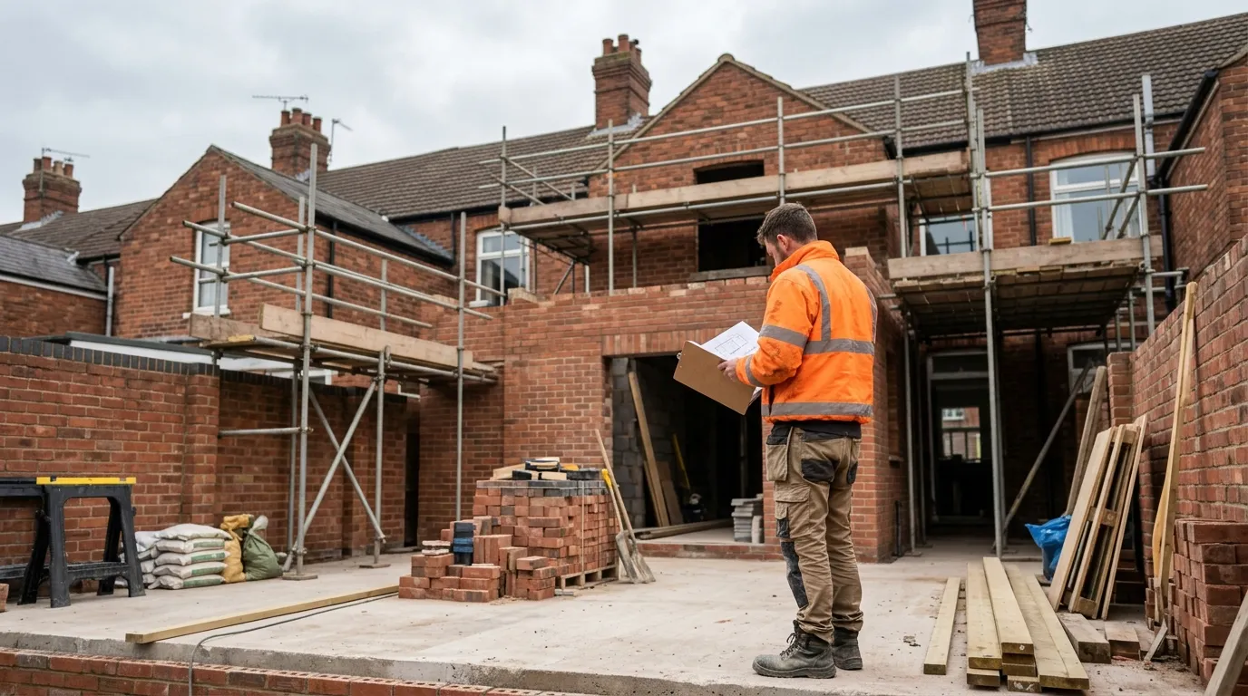
How to Serve a Party Wall Notice: Step-by-Step Template and Timeline
How to serve a party wall notice in the UK: the steps, a free template, exact notice periods and the timeline from service to award.
Read entry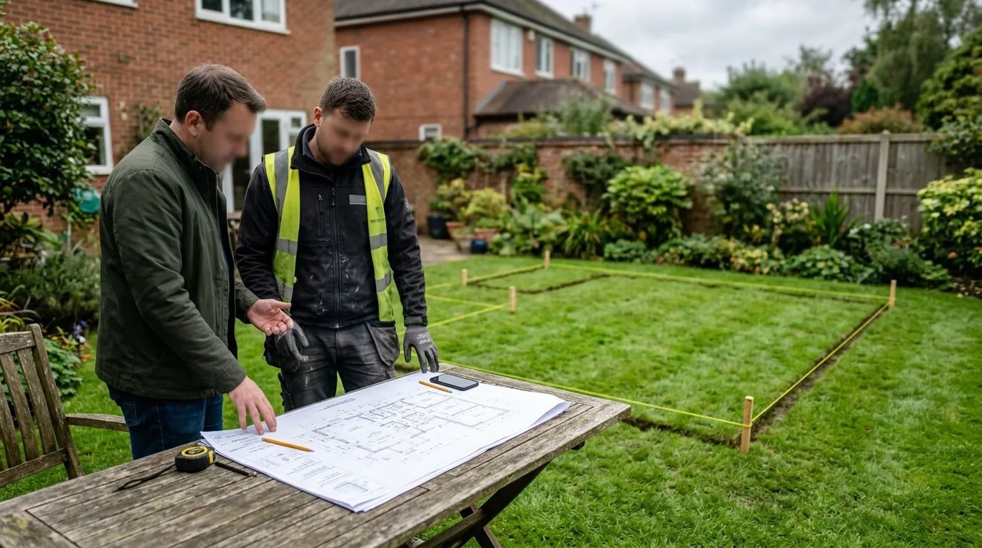
Planning Permission Refused: Your Options for Appeal and Resubmission
Planning permission refused? What to do next: read the refusal reasons, fix and resubmit a revised scheme, or appeal to the Planning Inspectorate.
Read entry